Bottom Line:
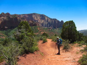
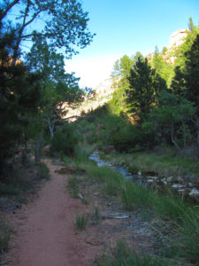
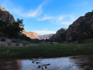
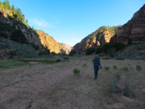
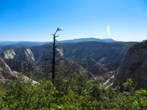
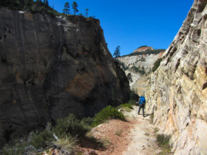
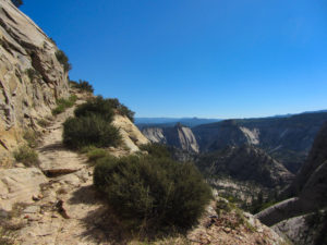
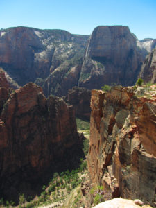
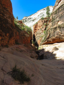
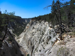
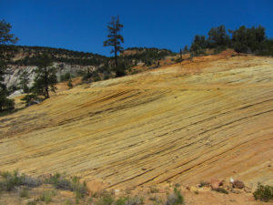
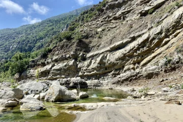
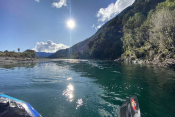
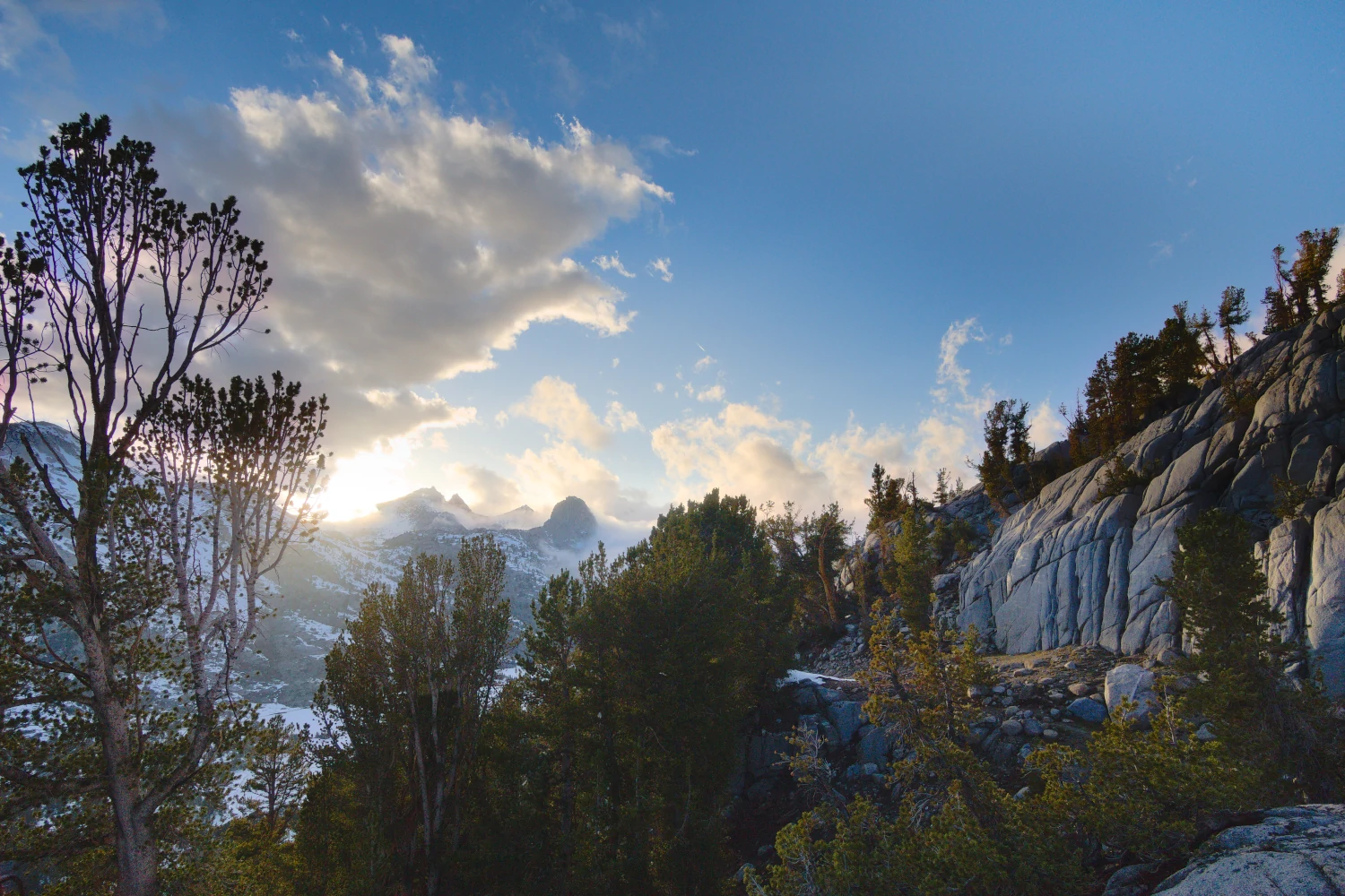
A very diverse trip that takes you through one of the most popular National Parks in the US without seeing too many people. You pass through steep canyons, along beautiful rivers and walk on top of cliffed plateaus.
4 Crucial Things:
- The logistics can be tricky. Either use a shuttle provider, a friend or be ready for a long and difficult hitchhike.
- Bring enough water carrying capacity with you and know your water sources.
- Bring enough sun protection. This is an exposed trip.
- Permits can be a little hard to get, so consider the shoulder – or off season.
Click on the gallery for a full sized view
What to expect:
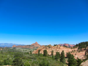
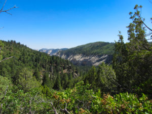
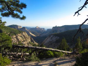
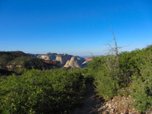
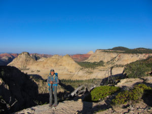
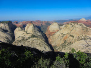
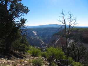
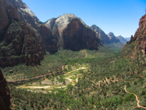
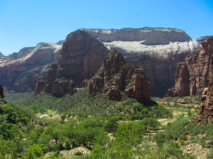
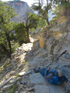
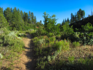
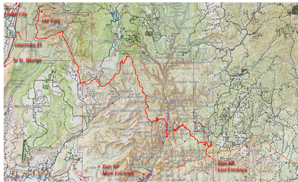
Zion Canyon (where the cars go) gets visited a lot and for good reason. It’s very beautiful – and so is the Zion NP backcountry. The Trans Zion stretches form the parks east end all the way to the west end and crosses through different ecological zones.
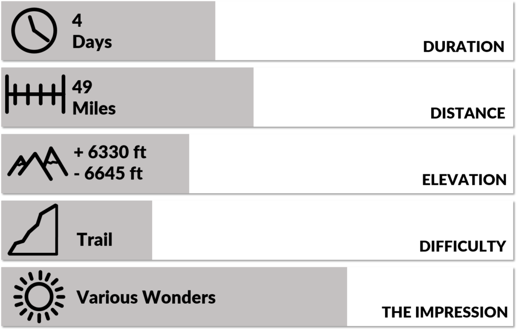
The trail is easy to follow but has some long climbs. Therefore we considerate it moderately difficult.
We did this trip in 4 days / 3 nights. Our first and last day were only half days so this made for some bigger mileage on day 2 and 3. This together with the July heat definitely bumped up the overall difficulty a notch.
The official distance is 49 miles and the climbing accounts to 6330 ft if you start from Lee’s Pass. It’s 6645 ft if you start from the east entrance.
Terrain
The trails are in good condition. There isn’t a whole lot of up and down but the climb out of the Zion Canyon is significant in either direction.
Navigation
The trails are pretty well marked and fairly easy to follow. The hardest part will most likely be your water source management. We used this simple map from Andrew Skurka’s website which includes the water sources and worked out well for us.
Solitude & Scenery
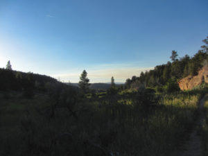
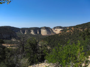
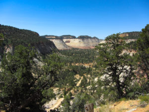
We did the Trans Zion in the off season (July). Therefore we barely met any people on the trail and only saw one other couple at a campsite. I also heard that despite the popularity the track usually doesn’t feel to crowded. The landscape you pass through is ever changing and each area has its own beautiful character.
Specific Considerations:
Water
Water sources aren’t plenty so you need to plan accordingly. Check with the ranger office before you leave which springs are dry and which you can rely on. Bring enough capacity to carry water over some extended distances.
Logistics and Regulations:
Start/Finish
West: Lee Pass
East: Zion NP East Entrance
Direction
The western trail-head is higher in elevation than the eastern one so going west to east has less total climbing. Overall it won’t make that much of a difference though.
Getting to and from
The two trail-heads have both paved access roads but are pretty far from each other. So if you are not using a shuttle option hitchhiking back to your car can be a whole mission in itself. We just parked our car at Lee Pass and were figuring out how we would get back there while we go. Unbelievable we met some local day hikers on the trail that gave us their phone number and offered to drive us back to our car once we finished the hike.
Permits and Bears
Permits can be hard to get (even in off season) and you need to pick your campsites before you go. This backpacking website of the NP has all the information you will need.
We got our permits the day we started hiking and although it was July and off season we didn’t get exactly the itinerary we wanted.
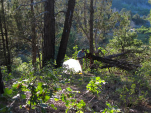
Because this hike is popular the designated campsites are impacted. This means if you leave your food out at night some sort of rodent will come and have a good look at it.
Safety
We didn’t take any special considerations. If you go in summer – as we did – be prepared for the heat.
Time of year
We went in the midst of summer (July 4th) and were still fine. If you prefer the best conditions to more solitude and easier paperwork then spring and fall are the seasons. Winter should be fine too if you can put up with the cold.
Temperatures
Days were really hot and we tried to take breaks during the hottest part of the days. We would eat dinner on the trail and continued hiking into the night. This made for more pleasant temperatures while we were on the go.
Depending on the campsite location, night time temperatures would still drop into the 40s despite the 90+ degrees during the day.
Links full of Info
These are the same links I posted above:
Simple and good mapset with water sources: https://andrewskurka.com/adventures/zion-national-park-traverse/maps-databook-more-info/
The National Parks informational website: https://www.nps.gov/zion/planyourvisit/backpackinginfo.htm
Gear and Food:
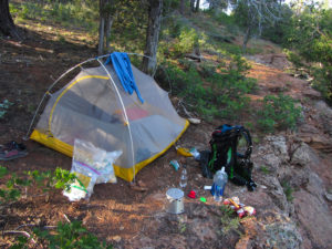
Except for an increased water carrying capacity we didn’t take anything out of the ordinary.
Check out this and this page for a general gear list and backpacking general backpacking food considerations
Itinerary:
This is the itinerary how it turned out. All data was extracted from Caltopo after the hike.
| Day: | Start: | Finish: | Distance [miles] | Elevation + [feet] | Elevation – [feet] |
| 1 | Lee Pass | Beginning of Hop Valley | 7.7 | 1175 | 1458 |
| 2 | Hop Valley | Potato Hollow | 19.1 | 2698 | 1714 |
| 3 | Potato Hollow | Stave Spring | 15.1 | 3826 | 4113 |
| 4 | Stave Spring | East Entrance | 5.8 | 748 | 1545 |
