Bottom Line:
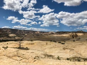
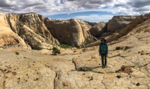
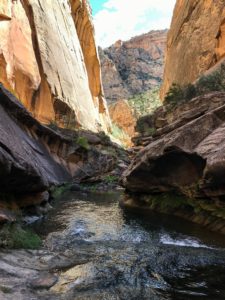
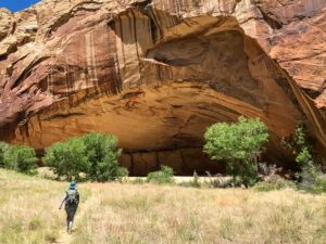
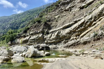
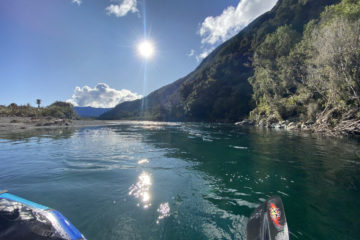
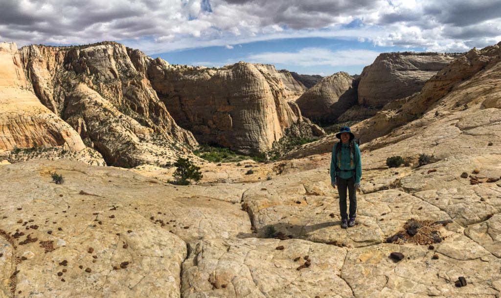
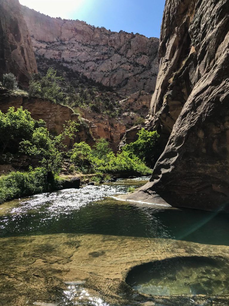
A loop trip with 3 distinct sections. Beautiful slick-rock and some history on the BMT. A steep and narrow canyon with amazing water scenery in Death Hollow. Huge cliffs and alcoves along the winding Escalante River.
5 Crucial Things:
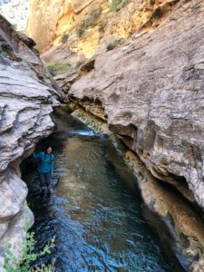
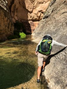
- A pair of water shoes. Along Death Hollow you will be constantly in and out of the stream.
- Long sleeves and pants. There is a good amount of Poison Ivy in Death Hollow
- Along the BMT section we found only stagnant water in Mamie Creek. Plan your water accordingly.
- Established campsites along this loop were pretty impacted. Store your food away from nightly critters.
- If time permits, visit Mamie Natural Bridge.
Gallery:
Click on the gallery for a full sized view
What to expect:
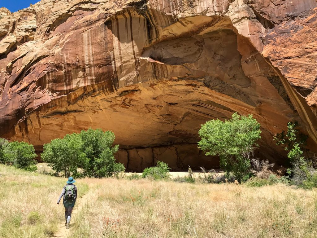
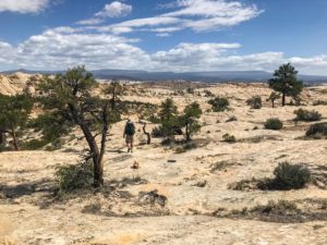
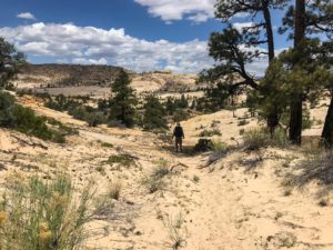
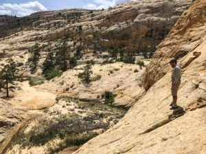
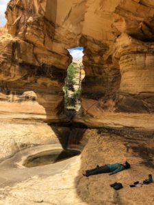
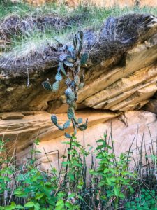
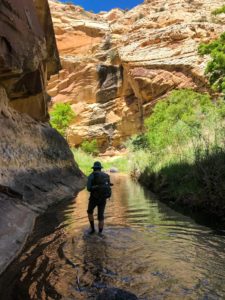
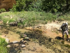
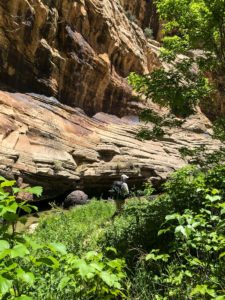
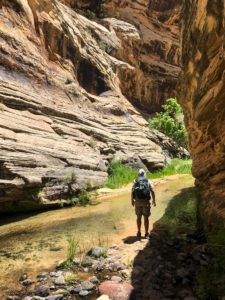
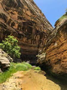
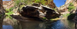
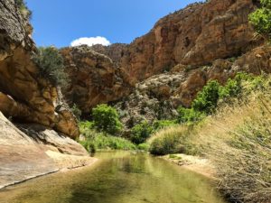
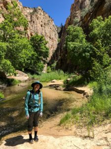
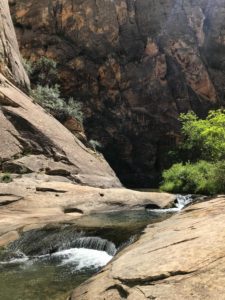
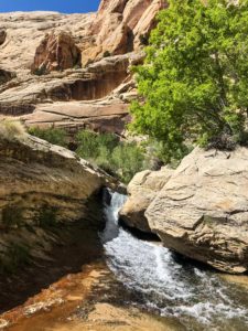
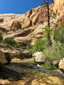
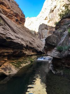
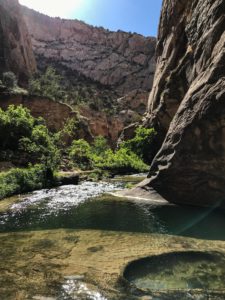
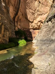
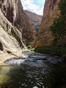
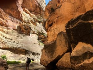
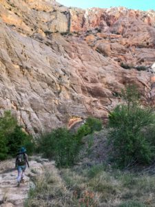
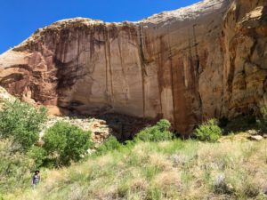
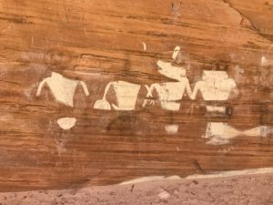
The Boulder Mail Trail, Death Hollow and the Escalante River all have their very own character. The BMT is mostly on slick-rock and sand and is quite dry with some beautiful views. Death Hollow is an impressive canyon. It is steep and narrow in parts. You hike along the stream which forms numerous pools, cascades and small waterfalls. The hike will take you in and out of the stream constantly. The Escalante River is also a huge canyon and the cliffs and canyon walls are even higher then the one in Death Hollow. The canyon is a lot wider though and more winding. Highlight are the petroglyphs and some large alcoves along the way.
This trip categorized as moderately difficult.
We did the hike in 4 days. We started hiking late the first day around 5 p.m.
The distance was 23 miles and the climbing accounted to 3530 ft. This Data was extracted from Caltopo.
Terrain
The Boulder Mail Trail is well “cairned” and easy to follow. Its a combination of slick-rock and sandy trails. An unofficial trail runs along Death Hollow which takes you in and out of the stream constantly. The Escalante trail follows the river and crosses it numerous times. Flows were so low in May that all the crossings were easy.
Navigation
You can’t really go the wrong way on this trip. A simple map will suffice.
Solitude & Scenery
The diversity and the outstanding beauty of each of the three segments makes this an incredibly scenic trip. Death Hollow is probably the highlight and is one of the most beautiful narrow canyons I have seen. However due to that it can get a little busy and you’ll probably won’t have it all to yourself.
Specific Considerations:
Water
In May there was no water along the BMT from the start at the Escalate Trail-head until we got to Mamie Creek. No water was flowing but the large Pool right next to the trail had a good amount of water stored.
Mice and other visitors
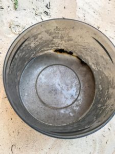
Our campsite in Death Hollow was pretty impacted and we had to secure our food at night. As they couldn’t get any food they decided to use my bowl – that I had left out – as their bathroom.
Logistics and Regulations:
Start/Finish
The “loop” starts at the Escalante River Trailhead near the cemetery of Escalante.
Direction
It’s better to descend down Death Hollow so you are not walking against the current. Therefore the loop works better clockwise.
Getting to and from
The trailhead is past the cemetery of Escalante. It’s marked on google maps. If your car can make it you can follow the dirt road all the way to a sign and meatl box that has the permit slips.
Permits and Bears
Free backcountry camping permits can be filled out at the trailhead.
Safety
The standard safety precautions.
Gear and Food:
Check out this and this page for a general gear list and backpacking food ideas.
Itinerary:
This is the itinerary how it turned out. All data was extracted from Caltopo after the hike. Caltopo shows some peaks in the elevation profile inside Death Hollow that didn’t exist.
| Day: | Start: | Finish: | Distance [miles] | Elevation + [feet] | Elevation – [feet] |
| 1(2) | Escalante River TH | Beginning of Death Hollow | 8.7 | 2008 | 2112 |
| 3 | Beginning of Death Hollow | End of Death Hollow | 6.4 | 656 | 1025 |
| 4 | End of Death Hollow | Escalante River TH | 7.7 | 869 | 395 |
