Bottom Line:
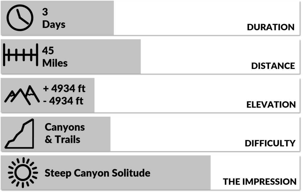
Two steep and winding canyons connected with a trail along the Waterpocket Fold of beautiful Capitol Reef. A wild and beautiful place where you won’t meet many other people.
4 Crucial Things:
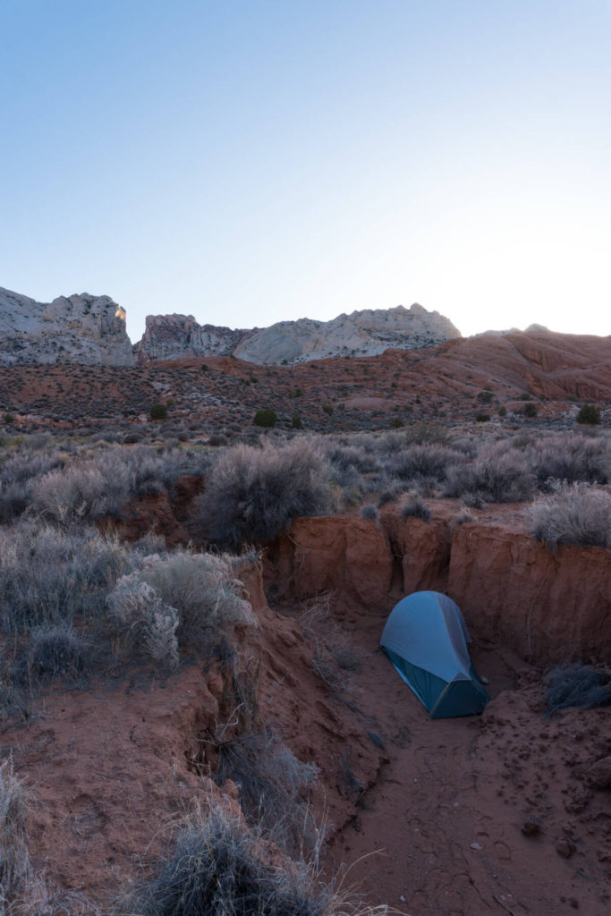
- Bring enough sun protection. Except for inside the canyons there is no shade.
- Know where to find water. Muley Tanks is a crucial source.
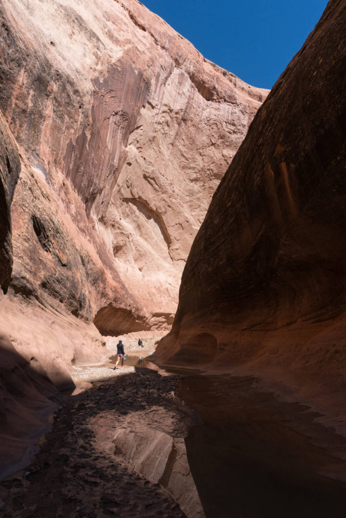
- Take your time to explore Halls Creek Narrows. Its really impressive.
- Tread lightly. The desert environment is fragile.
What to expect:
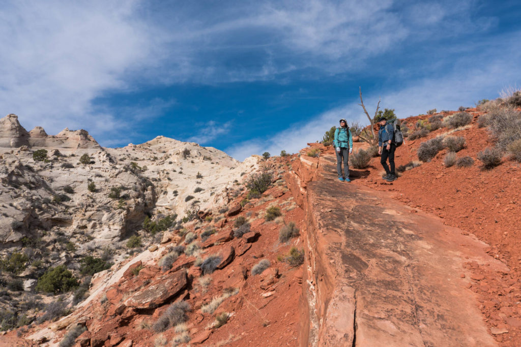
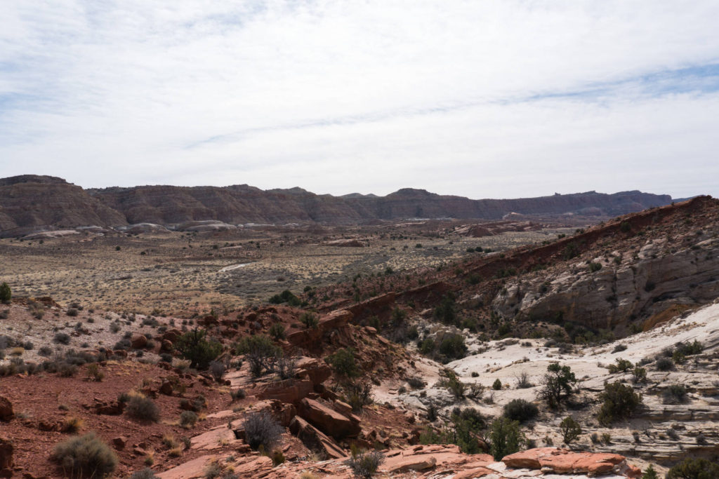
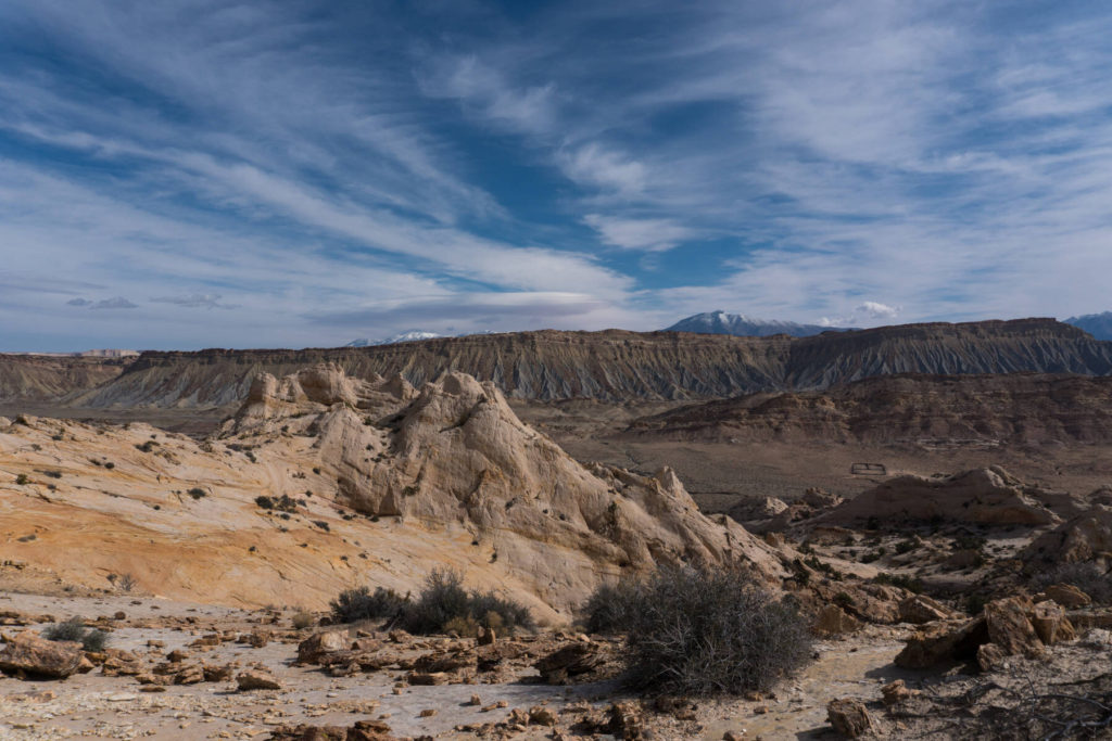
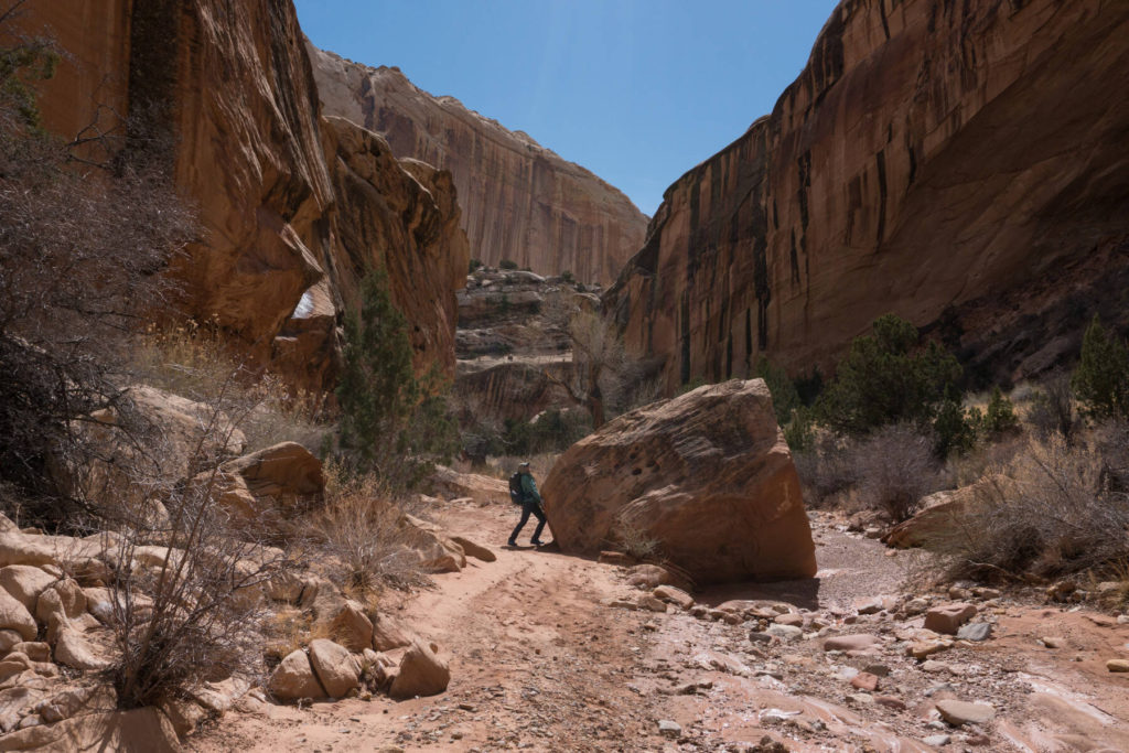
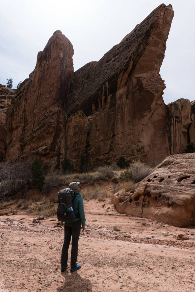
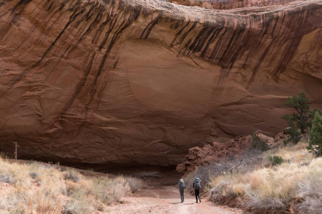
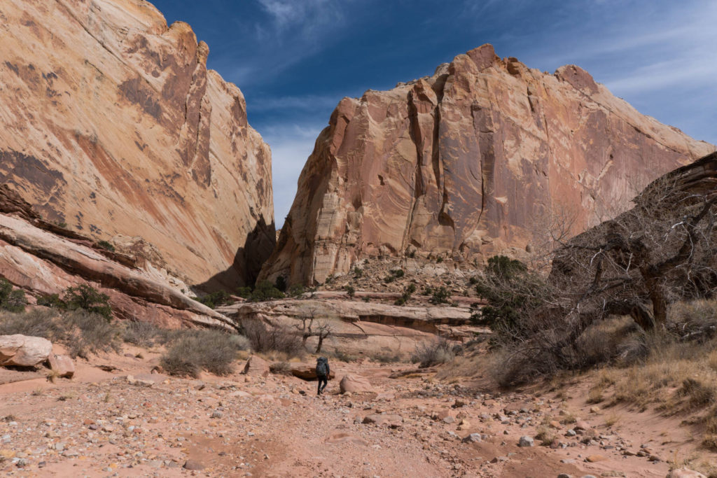
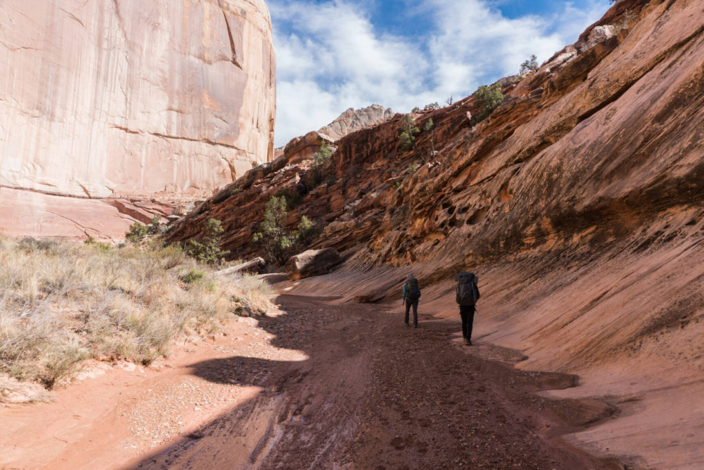
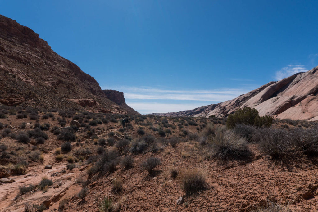
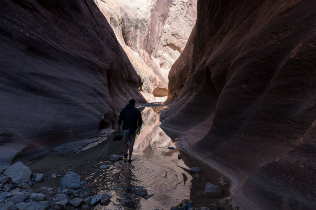
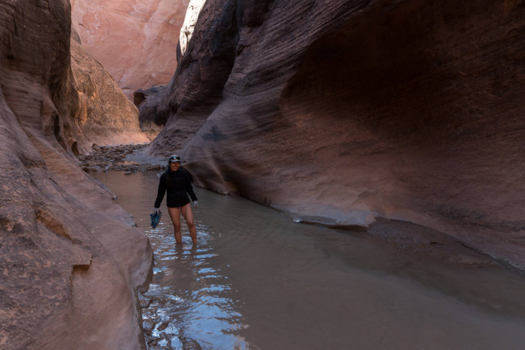
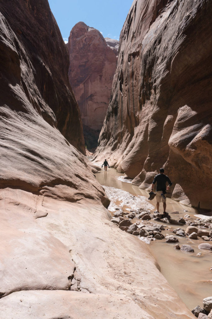
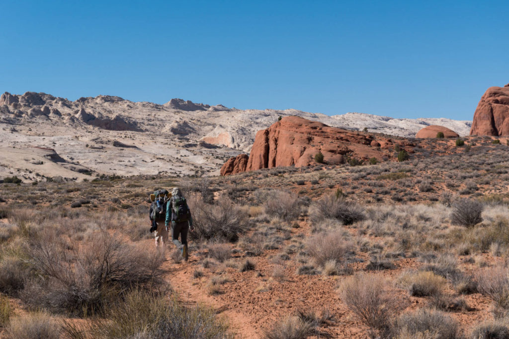
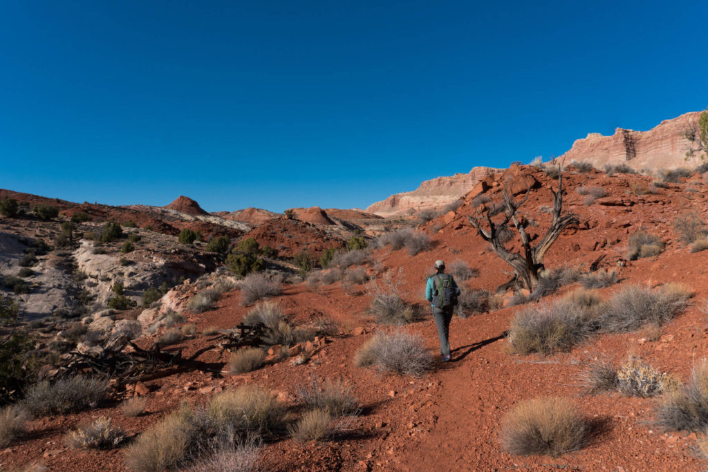
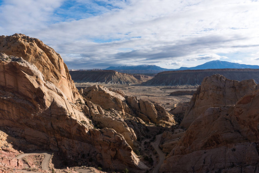
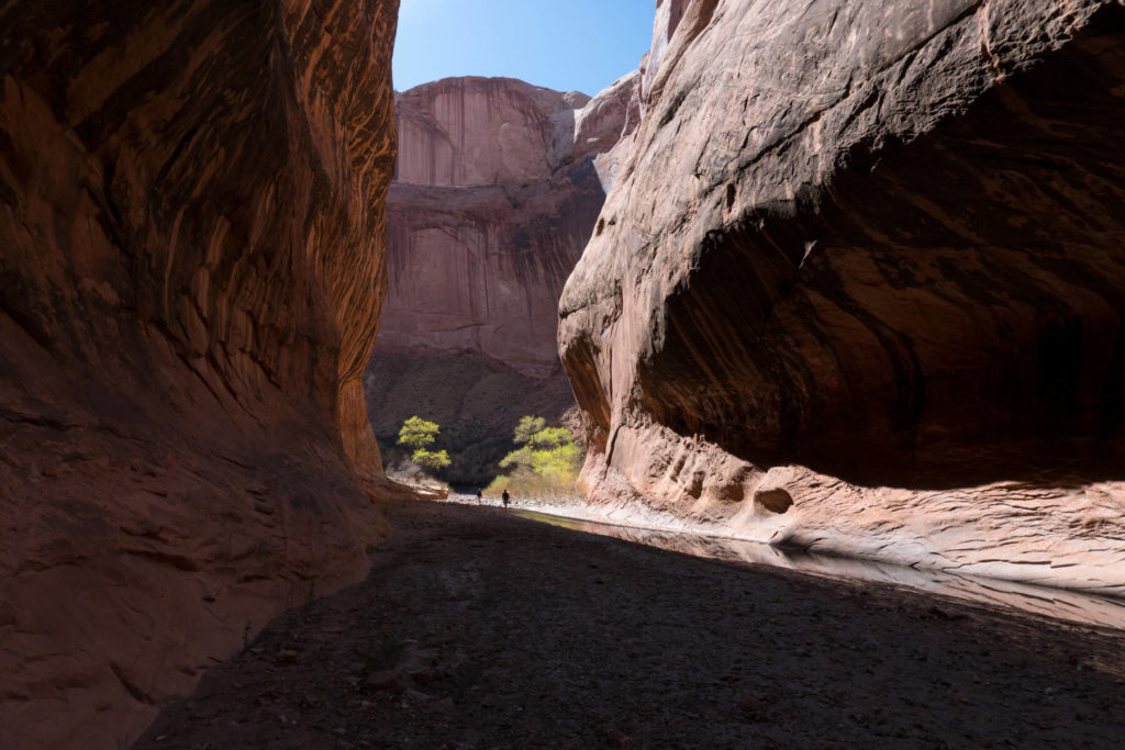
Lower Muley Twist and Halls Creek Narrows are both immensely beautiful canyons and have their own character. Halls Creek is more dramatic. Its steep and narrow. Lower Muley Twist has some really interesting rock formations and offers more open views.
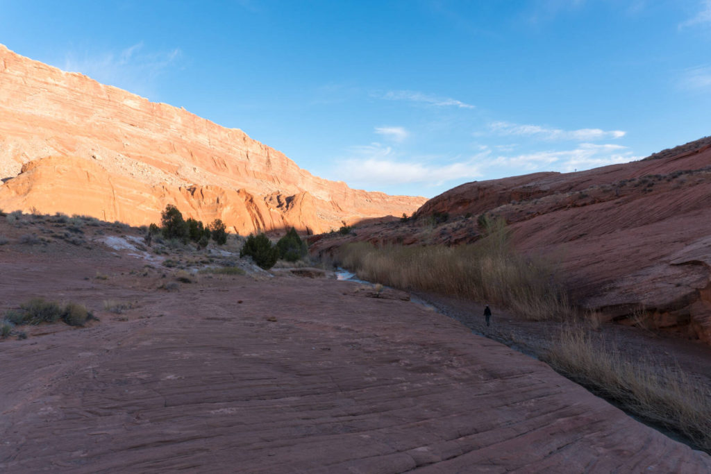
Hiking along Grand Gulch isn’t super diversified but still has its charm.
This trip categorized as moderately difficult.
We did the hike in 3 full days.
The distance was 45 miles and the climbing accounted to 4930 ft. This Data was extracted from Caltopo.
Click here for the Caltopo Map.
Terrain
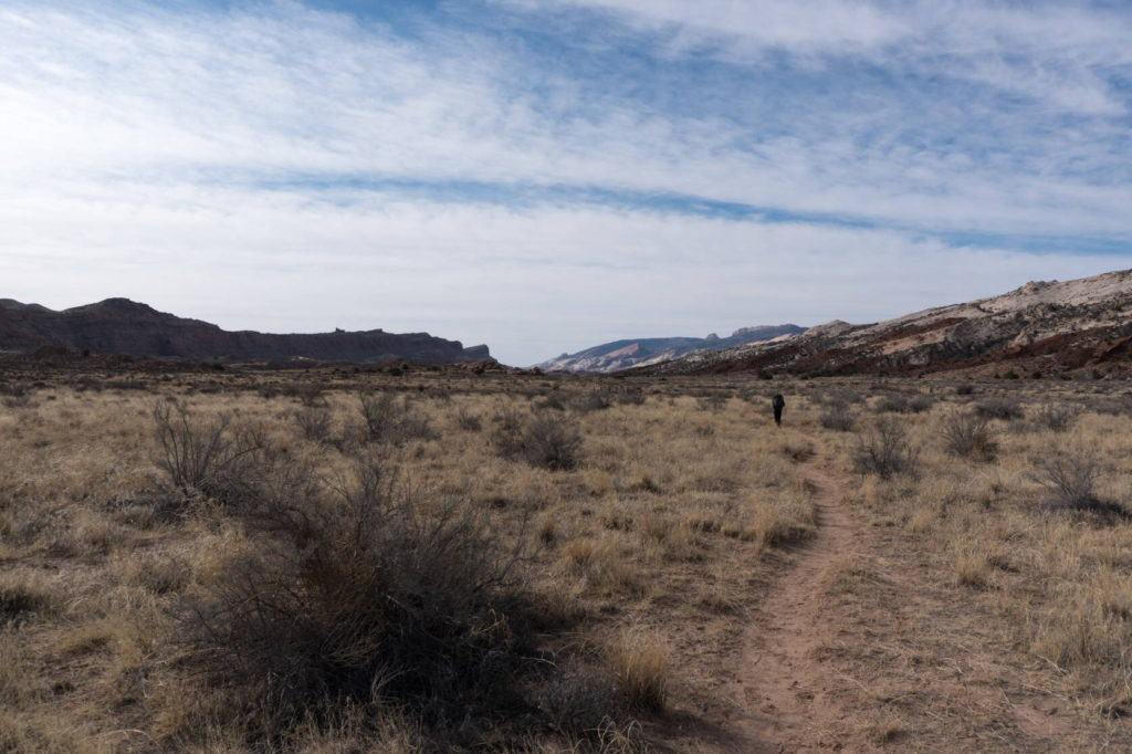
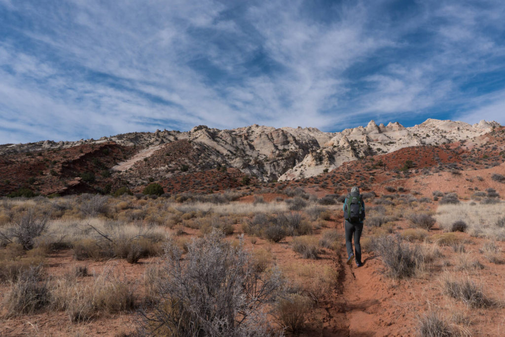
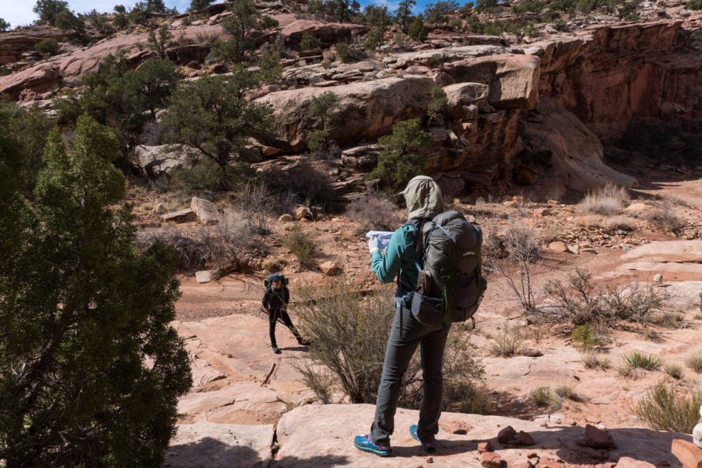
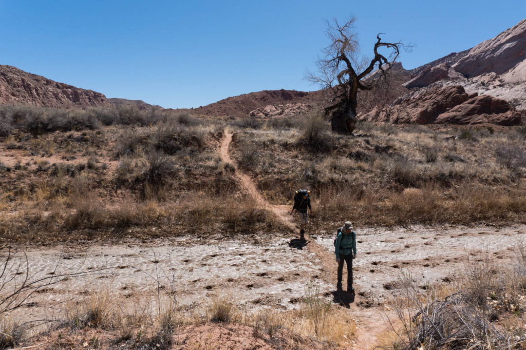
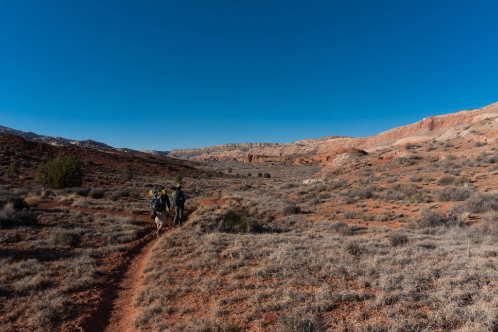
There is a bit of an “off-trail” climb from the trail head into Lower Muley Twist and connecting the entry and the exit of Halls Creek Narrows. Other then that the trails are easy to follow and the canyon floors offer easy walking.
Navigation
Same as mentioned above under Terrain. We used a combination of these two national park provided maps:
Lower Muley Twist
Halls Creek Narrows
Solitude & Scenery
We didn’t meet any other people on our 3 day trip. Halls Creek Narrows feels quite remote after the long hike down Grand Gulch. Both canyons are spectacular.
Specific Considerations:
Water
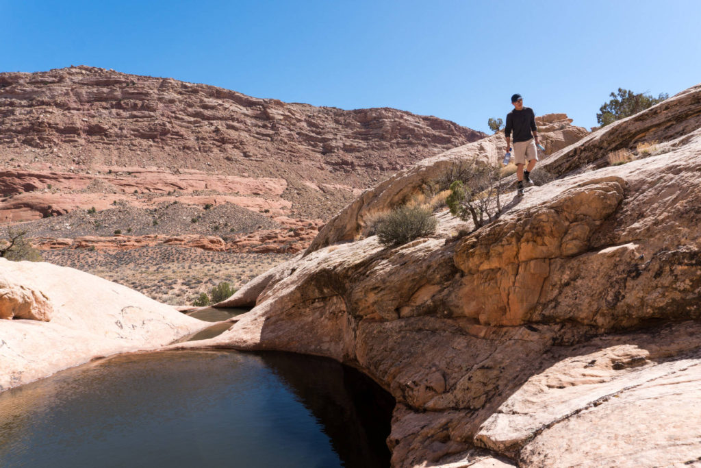
Water sources aren’t plenty so you need to plan accordingly. Check with the ranger office before you leave which sources are dry and which you can rely on. Bring enough capacity to carry water over some extended distances.
Logistics and Regulations:
Start/Finish
The “loop” starts at The Post trailhead on Burr Trail Road in Capitol Reef NP.
Direction
We went through Lower Muley Twist on the way in. That made sure we din’t skip it on the way out in case we were tired.
Getting to and from
We got to the trailhead from the north along Notom Bullfrog Rd (from the NP Visitor Center in Torrey) and departed to the west via Burr Trail Road. This allowed us to see more of the area. Both ways are dirt roads but were perfectly fine for a regular 2 wheel drive car. Both directions were very scenic drives.
Permits and Bears
We got our free permit from the Visitor Center in Torrey the night before we started hiking.
Click here for the link to their website.
Safety
The regular safety precautions.
Links full of Info
Maps and profile (we didn’t track our hike, this is solemnly based on planing this on caltopo): https://caltopo.com/m/FKQM
The Nation Park’s backpacking website: https://www.nps.gov/care/planyourvisit/backpacking.htm
The information sheets and maps we used:
https://www.nps.gov/care/planyourvisit/upload/Lower-Muley-May15-low-res-locked-for-web-2.pdf
https://www.nps.gov/care/planyourvisit/upload/Halls-Creek-Narrows-May15-low-res-locked-for-web.pdf
Gear and Food:
Except for an increased water carrying capacity we didn’t take anything out of the ordinary.
Check out this and this page for a general gear list and backpacking general backpacking food considerations
Itinerary:
This is the itinerary how it turned out. All data was extracted from Caltopo after the hike. I think the actual climbing was about a 1000 ft less. Caltopo shows some peaks in the elevation profile inside Halls Creek Narrows that didn’t exist.
| Day: | Start: | Finish: | Distance [miles] | Elevation + [feet] | Elevation – [feet] |
| 1 | The Post trailhead | Grand Gulch(via Lower Muley) | 12.2 | 1135 | 1463 |
| 2 | Grand Gulch | Halls Creek Narrows | 12.7 | 859 | 1119 |
| 3 | Halls Creek Narrows | The Post trailhead | 21.4 | 2960 | 2431 |
Click on the images for a full view
