Bottom Line:
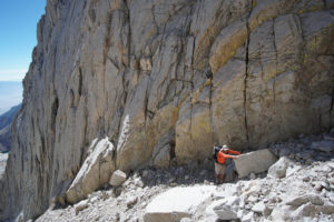
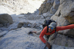
A hard trip with three 14ers and one nightmare of a pass. Some substantial class 3 climbing with some serious exposure plus a really shitty pass with wet and loose rock covered with ice. The perfect combination for a memorable outing.
4 Crucial Things:
- As always, an “ultralight” setup is key to big mileage and long climbs.
- Be ready for extended class 3 climbing and some good exposure.
- Ready your mind for how impacted the Whitney Zone is by careless hikers.
- Southfork Pass is a bitch. It’s loose and dirty and after you have done it you won’t do it again.
Gallery:
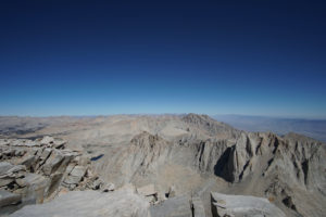
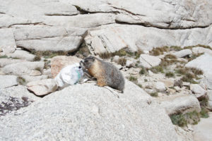
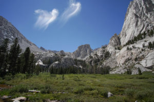
Click on the gallery for a full sized view
What to expect:
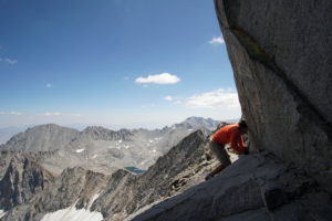
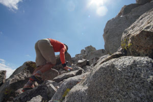
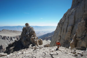
Middle Palisade, Mt. Russel and the Mountaineers Route up Mt. Whitney are major class 3 climbs and can be a lot of fun. The route in between traverses some beautiful on and off trail timberline country which you get mostly to yourself. Navigation didn’t feel too difficult. Once you hit the Whitney Zone you’ll notice that this area gets visited a lot.
Mostly due to the class 3 climbs of Middle Palisade and Mt. Russel as well as the unpleasantness of Southfork Pass, we considered this trip as very challenging.
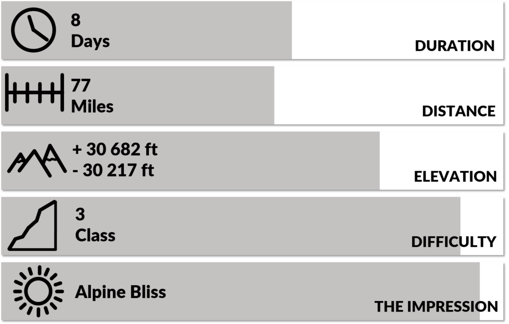
We planned for 10 days but did it in 8.
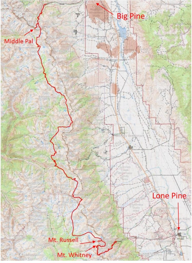
The distance was 77 miles and the climbing accounted to 30 682 ft. This Data was extracted from Caltopo.
Click here for the Caltopo Map.
Terrain
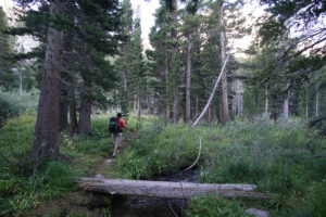
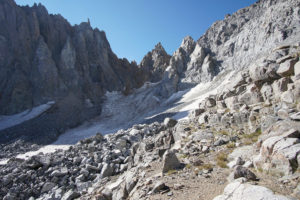
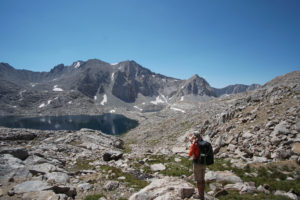
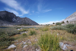
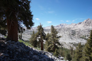
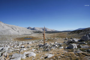
Fairly friendly! Few boulder hoping or talus sections and lots of nice off trail walking as well as a couple of pleasant unmaintained trails. Off course, the climbing of the three 14ers was a different story.
Middle Palisade: via the Secor Ledge and Chute
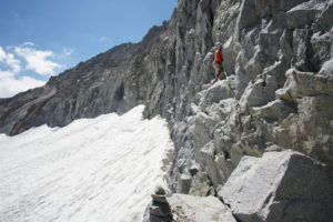
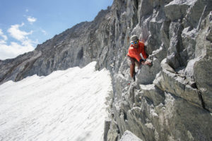
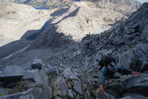
The bergschrund was’t too large and we found the suggested “entrance” onto the ledge. The climb along the ledge proofed the most challenging for us and I think we climbed a couple of class 4 sections to get past the ledge and into the chute. I also felt that it was pretty exposed. You climb diagonally up but the wall is more or less vertical. Once in the chute the climbing becomes a little easier and less exposed. It felt quite terraced where you would climb steep sections and every time there would be enough of a ledge in between the more vertical climbs. This made it feel less exposed and offered many opportunities to comfortably rest. This continues all the way up and after a short and exposed but easy traverse, we got to the top. On the return, it is kind of important to not miss the beginning of the ledge or you will get onto stepper and more difficult terrain.
Southfork Pass
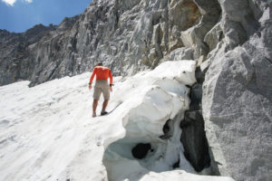
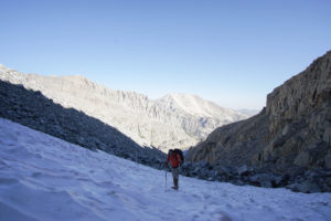
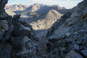
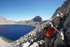
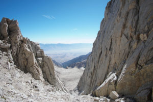
Terrible! We hit it early in the day and had snow to walk on just before we got to the narrow part. The last bit was on steep loose and dirty scree. At the most narrow part on the way up there was a large ice sheet baring the way. Underneath the ice sheet was a little melt water stream flowing. We were stuck here for a bit and evaluated if we could climb the sides of the gully but the rock was loose and would crumble away. We eventually went over and through the ice sheet, using the edges of the ice for holds. It was real sketchy and although we were moving continuously our toes and fingers were getting numb from the ice we held on to and the melt water we had to walk trough. We didn’t take a single picture or video of the way up and were very relieved once we got to the top.
Mt. Russell
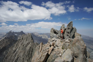
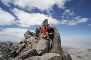
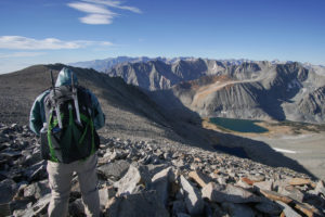
The climbing wasn’t too hard but it is very exposed at times. You hit a few false summits before you eventually get to the top.
Mt. Whitney (Mountaineers Route)
Although we had our full packs for this climb it din’t proof to difficult. There was a little bit of ice left in the final chute but it was fairly easy to find a route around it.
Navigation
Navigation didn’t proof to difficult anywhere on this trip. The most challenging part might have been the Mt. Baxter traverse and connecting from Lake Wallace to the Russell-Carillon Col.
Solitude & Scenery
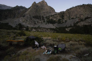
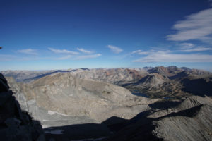
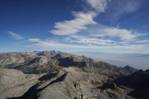
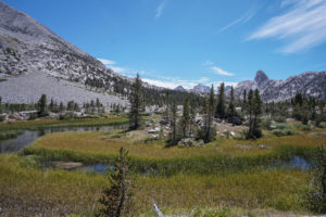
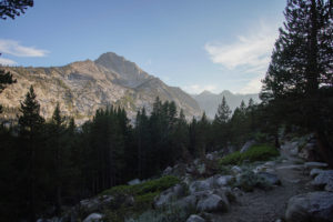
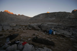
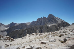
The off trail travel and the use of secondary trails lets you have it mostly to yourself .We met a couple of people but camped most days without anyone in sight. The parts of the Sierra we hiked through is rugged and beautiful (like most other parts) and what was really cool was that we could see our starting point (Middle Palisade) from our End Point (Mt. Whitney).
Logistics and Regulations:
Start/Finish
South: Whitney Portal
North: Glacier Lodge (Big Pine South Fork)
Direction
We decided to go North to South for a couple of reasons. First of all our main objective was Middle Palisade. Secondly, it’s a lot harder to get a permit for starting up the Whitney trail then it is for Big Pine South Fork. Also going up the Mountaineers Route on Whitney seems more fun than going down. Generally I think this route just works better this way.
Getting to and from
The two trail-heads aren’t too far from each other. We parked the car in Big Pine and hitched a ride up to the trail-head, which worked out well. Once we arrived at Whitney Portal we hitched another ride into Lone Pine. While we tried to hitch yet another ride back to Big Pine on the 395, the Eastern Sierra Transit Bus happened to run at this hour. The Driver was nice enough to stop for me and letting me get on although I wasn’t at the regular bus stop. 🙂
Permits and Bears
As for all Sierra trips you need to get a permit for your trail-head. We got ours for Big Pine South Fork the same day as we started hiking. Because we were exiting through Whitney Portal we had to get a Whitney exit permit.
We carried each an Ursak for our food.
Safety
This wasn’t a solo trip so we didn’t carry any navigation or satellite communication device.
Links full of Info
Maps and profile (we didn’t track our hike, this is solemnly based on planing this on caltopo): caltopo.com/m/VR7M
The Southern Sierra High Route guide: https://www.adventurealan.com/southern-sierra-high-route-soshr-guide/
Gear and Food:
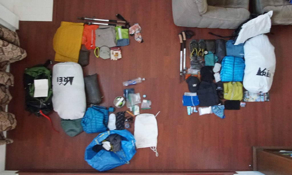
We had 10 days worth of food so we started out with pretty heavy packs. The fact that we both had a pretty solid ultralight setup made for are base weights to be below 10 lbs.
| GEAR LIST | |
| Items worn: | |
| Headwear | OR Sunrunners Cap w/o flap |
| Eyewear | Julbos |
| Bandana | Synthetic from Korea |
| Shirt | Merino Lycra Blend from Quechua Decathlon |
| Underwear | 100% Merino from COMAZO |
| Socks | Wrightsocks |
| Gaiters | Dirty Girl Gaiters |
| Watch | Polar V800 |
| Shoes | La Sportiva Akira |
| Clothing carried: | |
| Rain Jacket | Frogg Toggs Ultralight |
| Insulated Jacket | Mountain Hardwear Ghost Whisperer Hoody |
| 2nd Pair of Socks | Wrightsocks |
| Headwear | Goal Zero Head Tube |
| Packing: | |
| Backpack | Osprey Exos 48 |
| Waterproofing | Glad trash compactor bag |
| Bearproofing | Ursak All White |
| Foodbag | Loksak |
| Stuffsacks | For sleeping bag, mattress, tarp |
| Ziplocks | for daytime food, first aid, repair kit, guide book, toothbrush, … |
| Shelter: | |
| Tarp or Tent | MLD Grace Tarp Duo |
| Stakes | 6x MSR groundhog |
| Bivy | Borah Gear Ultralight side zipper |
| Mattress | ThermARest Neoair |
| Sleeping Bag | REI Igneo |
| Kitchen: | |
| Stove | Zelph Stove Starlight |
| Windscreen | Self-Made Caldera |
| Pot | Stanco Grease Pot |
| Fuel Container | 500ml Coke Bottle |
| Fuel Measuring | 1 oz. measuring cup |
| Spoon | JetBoil extendable |
| Ignition | Mini Bic |
| Waterbottle1 | Platypus 1l |
| Waterbottle2 | Smart Water 1l |
| Water Treatment | Aquamira Drops setup with 3 Bottles |
| Navigation | |
| Maps | Tabloid printed set |
| Map Sleeve | Zip-Lock Bag |
| Compass | Silva |
| Guide Book | Ropers Description cut |
| Safety, etc.: | |
| Hygene1 | Hand sanitizer |
| Tooth care | Foldable Toothbrush plus Toothpaste Dots |
| First Aid | Little self-made kit |
| Toilette Paper | as needed |
| Repair Kit | Tape, medical Tape, |
| Headlamp | Petzl MicroLight |
| Permit | piece of paper |
| Phone | Iphone 5s |
| Wallet | ZipLock bag with a little cash and one card |
| Lip Balm | Lanolin from New Zealand |
| Sunscreen | Powder Sunscreen from Costco |
| Mosquito Head Net | Sea to Summit Mosquito Head Net |
| Mosquito Spray | Sawyer Fisherman’s Spray |
| Foot care | Hiker’s Goo |
| Knife | Swiss Knife Mini |
Itinerary:
This is the itinerary how it turned out. All data was extracted from Caltopo after the hike.
| Day: | Start: | Finish: | Distance [miles] | Elevation + [feet] | Elevation – [feet] |
| 1 | Glacier Lodge | Big Pine South Fork Crossing | 1.6 | 883 | 83 |
| 2 | Big Pine S. F. Crossing | Finger Lake (Middle Pal) | 5.8 | 5713 | 3544 |
| 3 | Finger Lake | Upper Basin | 7.2 | 3154 | 2521 |
| 4 | Upper Basin | Stocking Lake | 14.0 | 3850 | 3747 |
| 5 | Stocking Lake | Vidette Meadows | 15.5 | 4981 | 6423 |
| 6 | Vidette Meadows | Wallace Lake | 16.8 | 5485 | 4118 |
| 7 | Wallace Lake | Upper Boy Scout Lake (Russell) | 5.1 | 3060 | 3202 |
| 8 | Upper Boy Scout Lake | Whitney Portal | 11.7 | 3556 | 6579 |
